Videos: Working with Tables in ArcGIS Pro

by | Apr 23, 2021

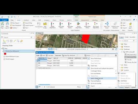
There are two basic types of tables in ArcGIS Pro: spatial tables and standalone tables.  Spatial tables, sometimes called attribute tables, are always attached to a geodatabase feature class or shapefile, while standalone tables, which are often called non-spatial tables, can have various sources including RDBMS tables, dbf files, or CSV or Excel spreadsheets. 

Our new ArcGIS Pro Shorts Series class Working with Tables, which is also available through our Annual GIS Training License examines a variety of functions that can be performed for both spatial and standalone (non-spatial) tables.

Below is a series of recent videos that cover various topics related to working with tables in ArcGIS Pro. Visit our YouTube or Vimeo channel and click the Subscribe button to be alerted when we release new videos.

Categories

Recent Posts

Eric Pimpler
Eric is the founder and owner of GeoSpatial Training Services (geospatialtraining.com) and has over 25 years of experience implementing and teaching GIS solutions using ESRI, Google Earth/Maps, Open Source technology. Currently Eric focuses on ArcGIS scripting with Python, and the development of custom ArcGIS Server web and mobile applications using JavaScript. Eric is the author of Programming ArcGIS with Python Cookbook - 1st and 2nd Edition, Building Web and Mobile ArcGIS Server Applications with JavaScript, Spatial Analytics with ArcGIS, and ArcGIS Blueprints. Eric has a Bachelor’s degree in Geography from Texas A&M University and a Master's of Applied Geography degree with a concentration in GIS from Texas State University.

Sign up for our weekly newsletter
to receive content like this in your email box.