
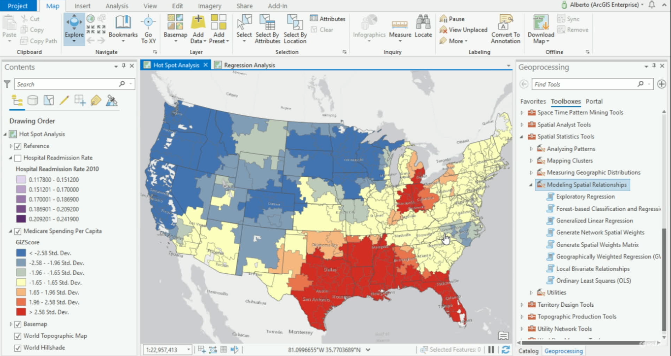
Modeling Spatial Relationships with ArcGIS Pro
ArcGIS Pro offers various geoprocessing tools for modeling spatial relationships. ArcGIS Pro 2.4 offers one new tool for modeling spatial relationships and expands its Ordinary Least Square’s tool, now renamed Generalized Linear Regression tool. When variables are...
Free Download – Exploring and Visualizing US Census Data with R
My new book – Exploring and Visualizing US Census Data with R has been published. You can get a free copy of the digital version of this book simply by entering your email address. The book will be delivered to your email inbox as a link to a Dropbox download. You can...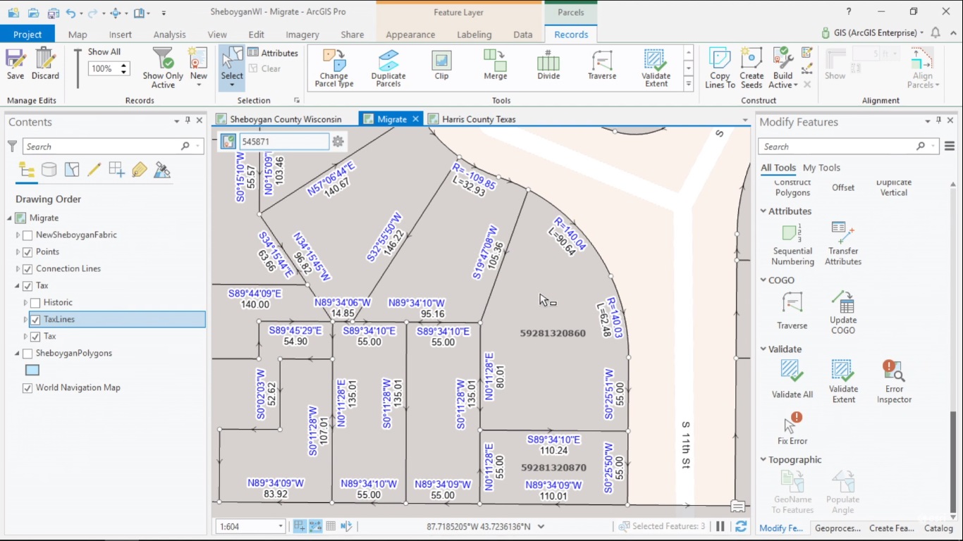
Managing, Editing and Sharing Parcel Data with ArcGIS Pro
ArcGIS Pro 2.4 now supports the Parcel Fabric framework for managing, editing and sharing parcel data. This article explains what the Parcel Fabric in Pro looks like and how it is different from the one in ArcMap. How to manage parcel data with ArcGIS Managing and...