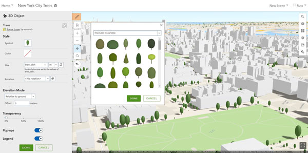
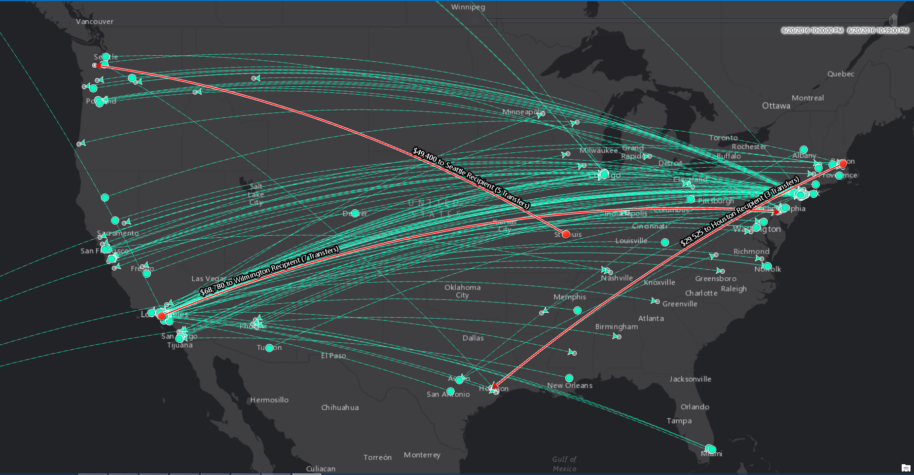
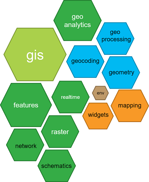
This blog post covers a selection of what´s new in ArcGIS Online. The enhancements and new features have been released as part of the 10.5 release of ArcGIS. Map Viewer enhancements You can use the new Arcade scripting language in the map viewer, for example for...
Articles & Tutorials
New Features in ArcGIS 10.5
Late December 2016 saw the release of ArcGIS 10.5, a major release that comes with many new capabilities with regards to its server and cloud capabilities. The big takeaways for 10.5 are large-scale analytics, big data capabilities plus a renamed and reorganized...
Introducing Arcade and the ArcGIS Python API
ArcGIS 10.5 introduced a new scripting language for the whole ArcGIS platform, as well as a Python API. Both are covered below. The Arcade scripting language Dynamic labeling and visualization has become a lot easier with the release of Arcade, a lightweight scripting...
Spatial Analytics with ArcGIS
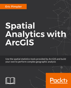
My new book, Spatial Analytics with ArcGIS, is scheduled to be published in May 2017. Spatial statistics has the potential to provide insight that is not otherwise available through traditional GIS tools. This book is designed to introduce you to the use of spatial...
Understanding How ArcPy is Organized in ArcGIS
This blog post looks at how ArcPy is organized, in order to understand how Python deals with ArcGIS’ geospatial data and tools. Site packages vs modules ArcPy is a site package that allows for a close integration of ArcGIS and Python. Now, it is also often described...
Setting Up a Python Working Environment for ArcGIS Desktop
Although Python is installed automatically with each version above ArcGIS Desktop 10, setting up a working python environment for using the ArcPy site package can be a little cumbersome. This blog post offers some help with setting up the right environment and...
ArcGIS 10.5 Is Coming Soon!
Earlier this year Esri announced ArcGIS 10.5 was coming some time in December. Well your wait is almost over. We expect Esri will release this newest version of ArcGIS sometime within the next two weeks. So what can we expect in this new release? That is a good...
Custom Toolboxes and Python Toolboxes in ArcGIS
This blog post examines the differences between custom toolboxes and Python toolboxes in ArcGIS Desktop. ArcGIS Desktop enables you to create custom toolboxes and Python toolboxes. As both are related to Python scripting, their names might sound a little confusing....
Choosing a Python Scripting Environment
This blog post investigates the various options available for writing Python scripts using ArcPy. There are various software options for writing a Python script and it´s advisable to be aware of these, along with their capabilities and shortcomings. While it is common...

