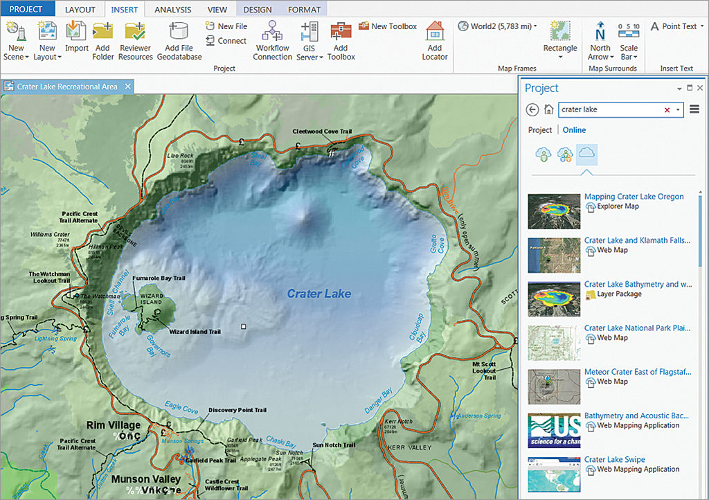
ArcGIS Pro supports all present-day patterns of airborne and satellite imagery use. This blog post describes some of the improvements that have been made in Pro with regards to using imagery, enhancing the user experience.
By Eric van Rees
Satellite and airborne imagery is used in a GIS for various purposes: for building imagery base maps, remote sensing and extracting GIS feature data. It can be used as background data for GIS analysis, or extract feature data for map creation. A GIS user can also work with only one image at a time, with multiple imagery collections, or decide to build such a collection. All these image use patterns are supported in ArcGIS Pro, Esri´s next-generation version of ArcMap.
A different user experience from ArcMap
Pro has been built with the idea to connect different components of the ArcGIS platform, rather than function as a stand-alone application. As such, it´s fully aware of ArcGIS Online and Portal, and enables users to share their work with others over the web. Esri’s Living Atlas of the World, offers curated content from ArcGIS Online, that can be imported into Pro through a portal connection. Once imported, it can be added to the map window by dragging and dropping it there. In terms of functionality, Pro offers comparative experiences, such multiple views of the same data (in both 2D and 3D), whereas ArcMap offers only one view at a time and in 2D only.
Intelligent imagery
Pro has been designed to optimize workflows. In practice, this means that the application selects the tabs with functionality you can use depending on the dataset that is loaded into the application, saving the user time. Enhancing the user experience, the application offers a set of raster functions that provide a set of on-the-fly raster processing tools, located in the Raster Functions pane accessible through the Analysis tab.
Another improvement from ArcMap is that when working with a single image, Pro highlights an appearance tab with many image tools that are directly accessible and visible to the user, whereas in ArcMap only offers a limited set of imagery tools, available in a separate window. Another example of how Pro makes for a smooth user experience, is through “intelligent imagery”, which refers to applying compression algorithms, dynamic mosaicking and on-the-fly processing to the piece of imagery that is selected in the map window.
Data management and virtual raster products
One difference with ArcMap is that Pro eases the use of imagery by exposing metadata in the map interface naturally, such as date, time and sensor characteristics that in ArcMap would have to be requested explicitly. In terms of data management, Pro makes things more simple by offering imagery end products rather than raw imagery. This means that all band options from different sensors have already been created by Esri, allowing users to work with end products in their GIS rather than creating composites first.
Virtual raster products save the ArcGIS Pro user time and disk space. These are in-memory dynamic imagery layers, which take info from image metadata and leverage that to produce on-the-fly images. They are used for pan-sharpening, a process that combines a high-resolution panchromatic image with a rich multispectral image at a lower resolution, in order to increase the resolution and provide a better visualization of a multiband image. What exists on disk is the raw data, but the application creates a virtual product that is available to the user, only in memory.

