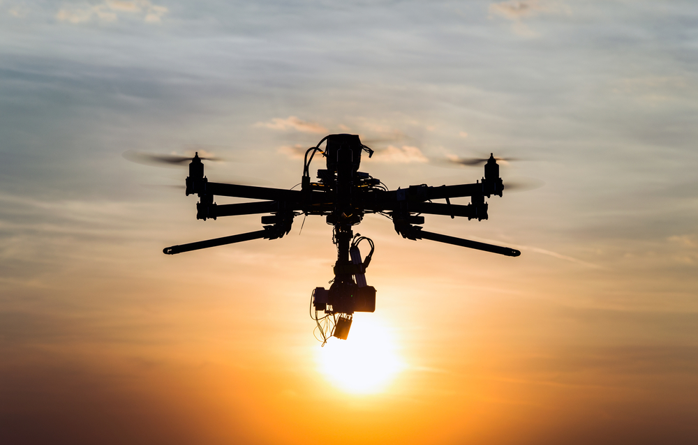
With the drone market becoming more professional, it was only a matter of time before Esri would release an application that could tap into raw imagery captured with drones, turning it into standardized imagery products and sharing these in the Esri ecosystem. This is exactly what Drone2Map for ArcGIS is all about.
By Eric van Rees
What is Drone2Map for ArcGIS?
Drone2Map for ArcGIS is a stand-alone 64-bit Windows desktop app that allows for image processing from drones and quick creation of imagery products for mapping, analysis, and sharing across the ArcGIS platform. The basic idea is to be able to create 2D and 3D maps of areas and features quickly from drone imagery. It is designed to be generic for all drones.
The first official release of Drone2Map for ArcGIS, version 1.0, was in June 2016, offering a number of new features, such as working offline in a disconnected environment. This was the follow-up for the beta release, launched at the same time as the release of ArcGIS 10.4 in early 2016. This new Esri application is designed to work only with still photos taken from a drone, so there´s no support for video motion imagery as of now. It is initially released for PC/Windows and licensed as a yearly subscription.
How does it work?
The application is powered by a photogrammetry engine from a third-party software vendor that turns captured drone imagery into orthomosaics, digital surface models, points clouds and 3D meshes. To do this, the app looks up the camera and sensor parameters used for data capture and then intelligently applies appropriate defaults. In order to be able to do this successfully, collecting certain types of metadata is crucial when acquiring the imagery: at a very minimum, the metadata needs to include latitude, longitude, and altitude. The addition of orientation, focal length and pixel size of the sensor will greatly improve results.
What can you do with the data after processing it?
Collecting x, y and z values of areas and features enables the production of a number of 3D imagery products, which are now an important part of Esri´s product range and supported data types. 3D colorized point clouds in LAS format and 3D textured meshes for use in ArcGIS Desktop and web apps are two imagery products that can be made with the application. The application offers a series of mapping templates for the creation of 2D and 3D map types.
Once processed, the imagery can be used in other parts of the ArcGIS platform, such as ArcGIS Desktop, ArcGIS Online and ArcGIS Server. It can be published directly into an ArcGIS Online Account, either as a tile service or web scene. Used together with ArcGIS for Server, it can be shared as an image service, or behind a firewall with Portal for ArcGIS. ArcGIS for Desktop adds additional visualization and analytical capabilities, although some of these are also offered in the app itself, such as creating a normalized difference vegetation index (NDVI), which is used to assess crop health in the agricultural sector.
Product page: www.esri.com/drone2map

