
GeoSpatial Training Services
Since 2005, Geospatial Training Services has provided high-quality training opportunities for over 12,000 GIS professionals. Our training events are presented in several different formats including traditional classroom, live-online, self-paced online with access to the instructor, and self-paced. Our goal is to provide you with the training materials you need in the format you want.
Not sure what courses to take? Check out our ArcGIS Learning Pathways.
In Person Classes
Look for classes near you.
Live Online Classes
Through Go To Training.
All Events
Browse all upcoming courses.
Self-Paced
At your own pace and time.
Group Training
Custom group GIS Training.
Training Bundles
Flexible training bundles.
Annual GIS Training License
24/7 access to all classes.
Course Catalog
Full list of courses.
Learning Pathways
See which courses to take.
Upcoming Events


Free Articles & Tutorials
GIS technologies advance and evolve as quickly as amoeba! This is why our weekly articles and tutorials cover a broad range of topics.
Most of our tutorials provide a detailed, how-to guide into performing important functions in a GIS environment, whether on a desktop or online
Free Tutorial Videos
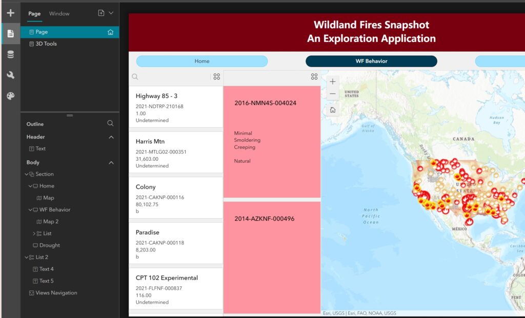
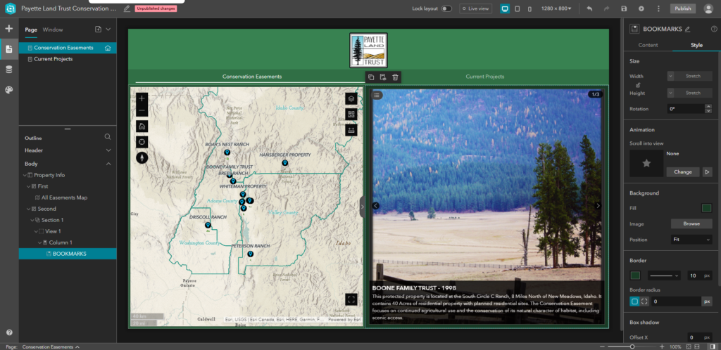
Each month we release new tutorial videos covering a broad range of topics from ArcGIS Pro and ArcGIS Online, to Python, Arcade, Experience Builder and more. We have more than 100 tutorial videos hosted on our YouTube Channel. Subscribe to the channel to receive notifications when new content is posted.
Trusted by Federal, State, and Local government agencies, utility companies, GIS user groups, and private-sector businesses from around the Nation.
