

There may be times when it makes sense to limit the features that will be labeled in a layer. This is often the case when you have a layer that contains many features that would look very cluttered if you attempted to label all the features. Attempting to label all features in a layer can result in a cluttered looking map.
You can apply a SQL query to limit the features in a layer that will be labeled.
You can view a demonstration of this functionalityh below or simply read on.
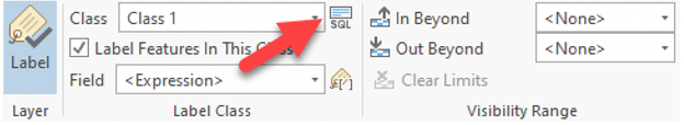
To set a SQL query on a layer to limit the features that will be labeled, select the layer to be labeled from the ArcGIS Pro Contents pane and then click the Labeling tab from the Feature Layer context menu.
Click the SQL button just to the right of the class selector. This will initiate the Label Class pane with the SQL button selected. From here you can build the expression using the point and click expression builder.
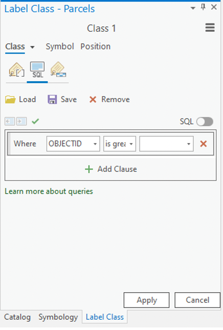
Clicking the SQL button will display the pane seen below on the Label Class pane.
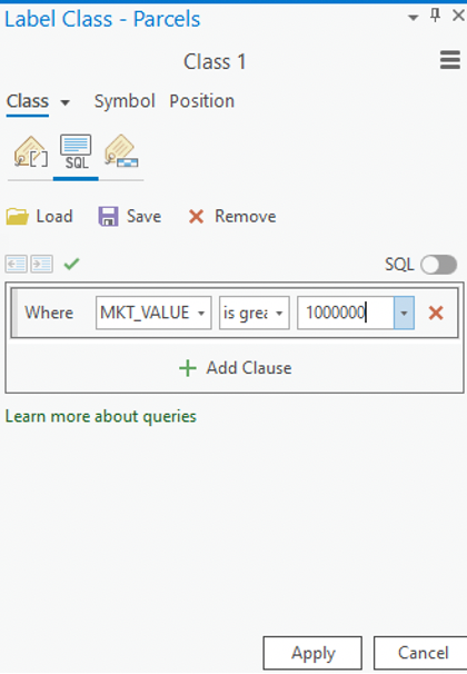
Use the expression builder to define a SQL query where MKT_VALUE >= 1,000,000.
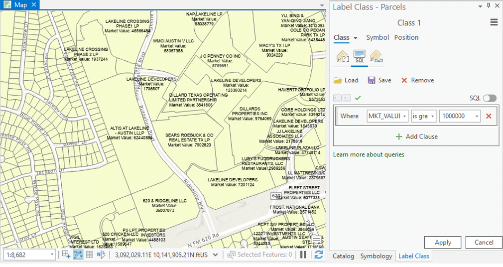
Click the Apply button. Notice how many of the smaller parcels are not labeled at this point because they have a market value of less than $1,000,000.
Learn more about labeling in ArcGIS Pro in our new 4 hour ArcGIS Pro Shorts Series – Labeling Features class. This class is also part of our Annual GIS Training License and ArcGIS Pro Training Bundle.
