September saw two new releases of Esri´s ArcGIS API for JavaScript. This blog post discusses some of the new capabilities of both releases.
By Eric van Rees
Two new releases of the ArcGIS API for JavaScript have been released around the same time, for versions 3.x and 4.x. As you can see, Esri is developing two versions of the API at the same time, until 4.x reaches parity with 3.x. There is no firm date for when full parity will be reached, but in a release statement Q3 of 2017 was mentioned as a target date. Esri’s release plan for the JS API includes four releases each year for both versions, while at the same time trying to align as closely as possible with ArcGIS platform advancements, for example new capabilities from ArcGIS Online and Portal. Let´s have a look at some of the new capabilities for both versions.
ArcGIS API for JavaScript 4.1
4.1 is the second release of the API, following the 4.0 release of last May. The API offers some new capabilities, such as dynamic layer support, a new IntegratedMeshLayer class and web scene writing.
The 4.0 version supported dynamic map services, enabling serving up maps drawn at the time they are requested by a user, offering a real-time data display experience. The 4.1 release extends the dynamic capabilities of the API by adding support for dynamic popups, labels, rendering and creating dynamic data layers with data from dynamic workspaces. Dynamic data layers allow users on the client side to increase the amount of interaction with the maps that are served through an ArcGIS Server site as layer appearance and behavior in a map service can be changed dynamically. The new Sublayer class allows for a cleaner way of designing and configuring sublayers.
The IntegratedMeshLayer class in the new API allows users to bring data from the Integrated Mesh Layer type, available in the Scene Viewer, into a web app. An integrated mesh can represent built and natural 3D features, such as building walls, trees, valleys, and cliffs, with realistic textures. These layer types can be created using Drone2Map for ArcGIS, a recent Esri product release.
Web Scene writing allows developers to create new web scenes or update existing scenes programmatically and save them back to ArcGIS Online or Portal for ArcGIS. This feature lays the foundation for web map writing in a future release of the API.
ArcGIS API for JavaScript 3.18 Release
Esri also released a new version of the 3.x series of the API, which is now at version 3.18. Changes to the VectorTileLayer are the most important new capability of this API release.
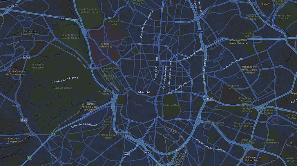
A VectorTileLayers accesses cached tiles of data and renders it in vector format, a process that saves space and speeds the process for creating new map styles. For this release, the implementation of the VectorTileLayer has been re-written to be more tightly integrated with the API. Enhancements include improved display of the label engine, right-to-left support for map labels and full support for indexed vector tiles. Because ArcGIS Pro 1.4 will enable users to build VectorTileLayer packages in any ArcGIS-supported spatial reference, the 3.18 has been written with this idea already in mind, supporting the full set of spatial references so that once this capability has been released in Pro you can take advantage of it with this API.

