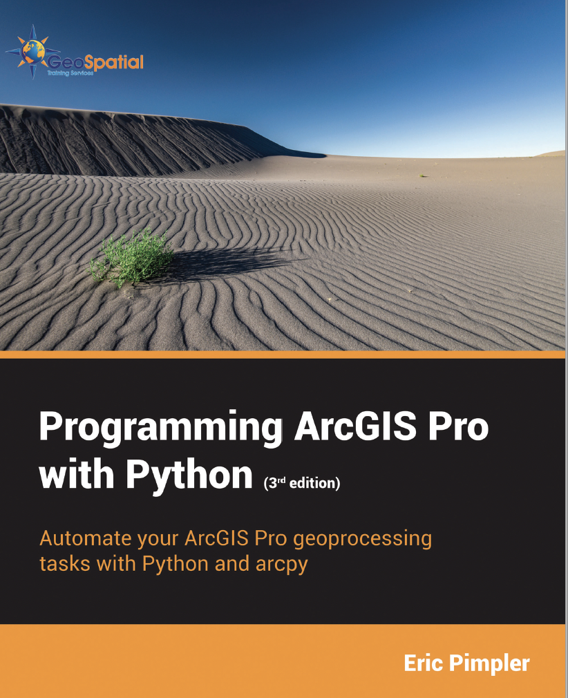
Programming ArcGIS Pro with Python

Learn how to automate your ArcGIS Pro 3.x geoprocessing tasks using Python. This book has been updated for ArcGIS Pro 3.x.
Purchase:
$52.00 Printed Paperback Version on Amazon
Sample Chapter: Chapter 1: Fundamentals of the Python Language
Chapters Include:
Chapter 1: Fundamentals of the Python Programming Language
Chapter 2: Introduction to using Arcpy in ArcGIS Pro
Chapter 3: Working with Projects, Maps, and Layers
Chapter 4: Manipulating Layouts
Chapter 5: Automating Map Production with Map Series
Chapter 6: Using the Arcpy Data Access Module
Chapter 7: Creating Charts and Graphs
Chapter 8: Creating Custom Geoprocessing Tools
Chapter 9: Using Pandas for Data Management and Exploration
What You Will Learn From This Book:
- Explore the built in Jupyter Notebook environment
- Learn fundamentals of the Python programming language
- Programmatically execute ArcGIS Pro geoprocessing tools
- Manage project and layer files
- Add, insert, remove, and move layers
- Apply layer symbology and properties
- Manage layouts
- Automate map production
- Insert, update, and delete records from layers
- Create custom geoprocessing tools
- Use Pandas for data preparation, exploration, and visualization
- Much more!
ArcGIS Pro 3.x is Esri’s newest desktop GIS software with powerful tools for visualizing, maintaining, and analyzing data. Learn how to automate your ArcGIS Pro geoprocessing tasks using Python and arcpy in this hands on style exercise book.
The book starts with an overview of the ArcGIS Notebook environment and the Python 3.x language. You’ll learn the basic constructs of this powerful, easy to learn language for automating your ArcGIS Pro geoprocessing tasks.
We’ll then dive into the details of the ArcGIS Pro arcpy module by learning how to execute geoprocessing tools from your scripts. From there you’ll learn how to manage project and layer files, and manage the data within those files. You’ll discover how to programmatically add, insert, remove, and move layers in table of contents.
Next, you’ll learn how to apply symbology and update properties of layers, work with 2D and 3D display properties, and manage layouts. You’ll also learn how to automate map production through the use of map series functionality, formerly called map books.
From there we’ll cover the arcpy data access module for inserting, updating, and deleting data from feature classes and tables. You’ll also learn how to create your own custom geoprocessing tools using custom toolboxes for ArcGIS Pro.
Finally, we’ll close the book with an overview of the Pandas module and how it can be used for data analysis, exploration, and visualization.
Download Exercise Data From:
After downloading the data, unzip to a c:/Student folder on your computer. You should then have a c:/Student/ProgrammingPro folder containing several sub-folders and files.
This book was published in July 2023.
Classes On This Topic:
Introduction to Programming ArcGIS Pro 3 with Python
Data Analysis with ArcGIS Pro 3 and Python
