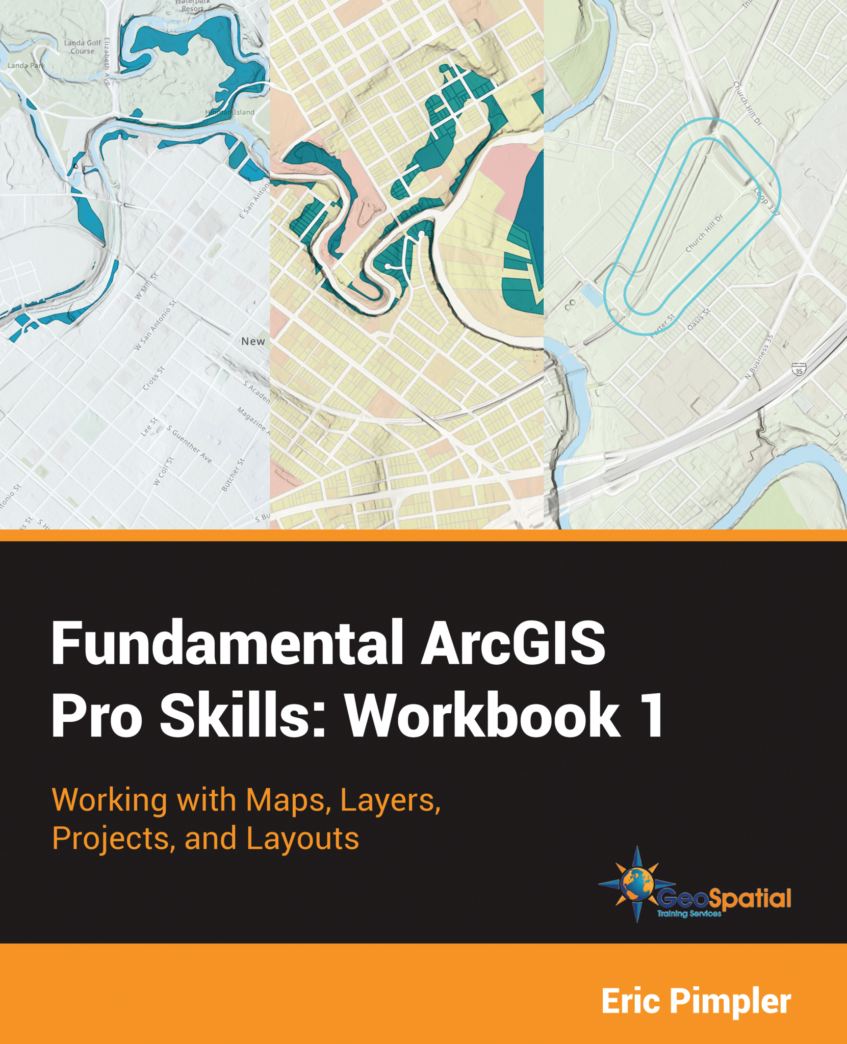
Fundamental Arc GIS Pro Skills: Workbook 1

Learn the fundamentals of ArcGIS Pro version 3 for working with maps, layers, projects, and layouts.
Purchase:
Paperback version available on Amazon. – $51.00
Sample Chapter: Chapter 3: Creating and Using Selection Sets
Chapters Include:
Chapter 1: Working with the ArcGIS Pro Interface
Chapter 2: Working with Maps and Layers
Chapter 3: Creating and Using Selection Sets
Chapter 4: Table Basics
Chapter 5: Creating Projects
Chapter 6: Working with Layouts
What You Will Learn From This Book:
- How to use the new ribbon-based ArcGIS Pro interface
- Techniques for creating new maps and adding layers and tables to maps
- Easily change basemaps using ArcGIS Online
- Use the style gallery to apply predefined styles to layers
- Advanced layer symbology technique
- Create new projects with custom templates
- Add layouts and associated content to projects for publication quality maps
- Techniques for creating selection sets to filter data in layers or tables
- Manipulate tabular data
In this book you will learn foundational techniques for using ArcGIS Pro 3.x. The book begins with an overview of the new ArcGIS Pro ribbon-based interface. Part of the learning curve associated with Pro is becoming familiar with how to effectively use the software to accomplish common GIS tasks. By the end of the first chapter the reader will have a strong foundation for navigating the ArcGIS Pro interface.
Next, you’ll learn how to open ArcGIS Pro project files and understand the variety of content types that can be added to a project including maps, layouts, styles, connections to data sources, and more. You’ll also learn how to create 2D maps and add a variety of basemaps and layers. We’ll also cover a wide variety of ways that layers can be symbolized and styled.
Next, the reader will learn how to filter layer and tables using selection sets. You’ll learn a variety of techniques for creating selection sets including manual selectin methods, along with the Select by Attributes and Select by Location tools.
Although the primary visualization context of ArcGSI Pro is a map view, a tabular view of data is often required to support a variety of workflows. You’ll learn how to add and view spatial and non-spatial tables in ArcGIS Pro as well as perform a variety of operations.
ArcGIS Pro is project-based software where content related to a project is stored in a special project file that can then be accessed and shared as needed. The reader will learn how to create new projects using built-in and custom templates.
Finally, we’ll cover how to create presentation quality layouts for your maps and content.Layouts often include one or more maps along with ancillary elements such as legends, north arrows, scale bars, text, charts and graphs, pictures, and more. You’ll learn how to design and create these layouts.
Download Exercise Data From:
After downloading the data, unzip to a c:/Student/MasteringArcGIS Pro 3 – Workbook 1 folder on your computer. You should then have a c:/Student/MasteringArcGIS Pro 3 – Workbook 1/Exercises folder containing several sub-folders and files.
This book was published in August 2023.
