
Creating a New Task Item in ArcGIS Pro
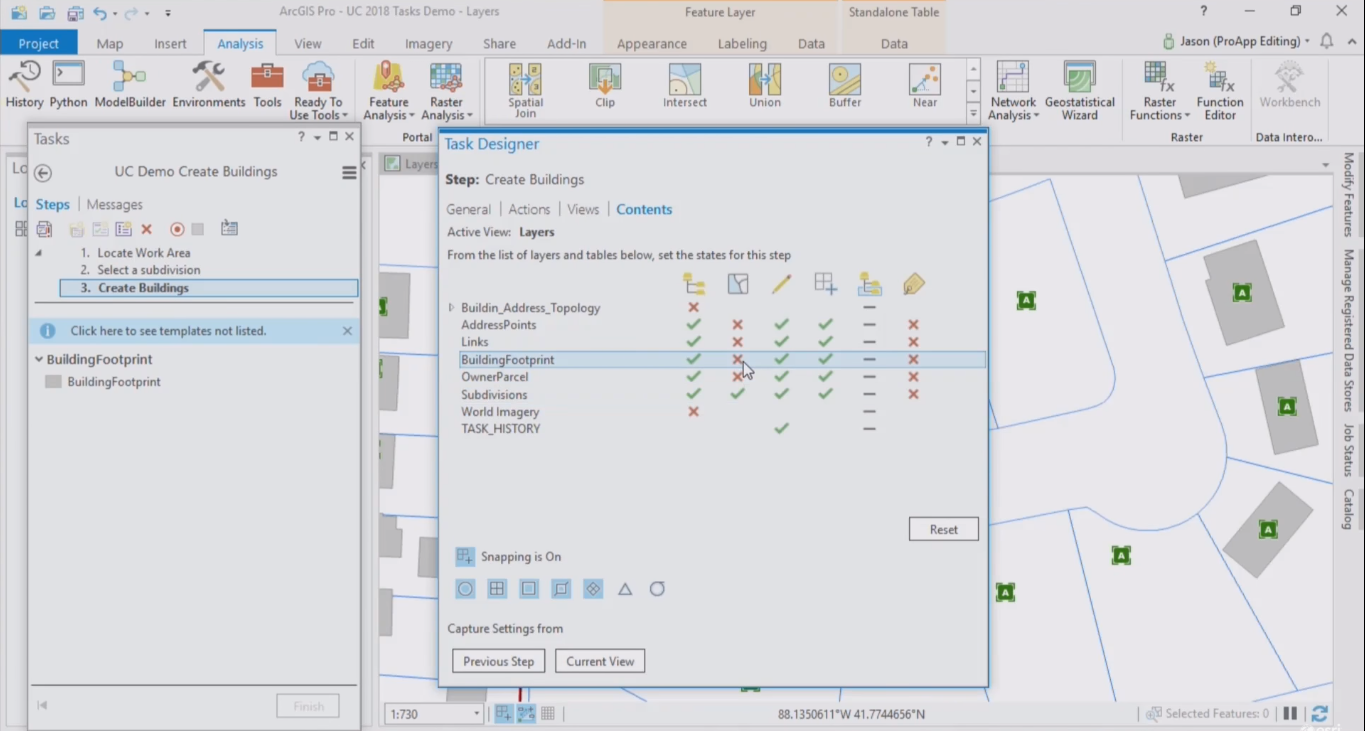
This article explains how to create a new task item in ArcGIS Pro. Also, some advice is offered before considering the creation of a new task. Creating a new task item Creating a task starts with creating a new task item inside a project in Pro. Tasks are listed in...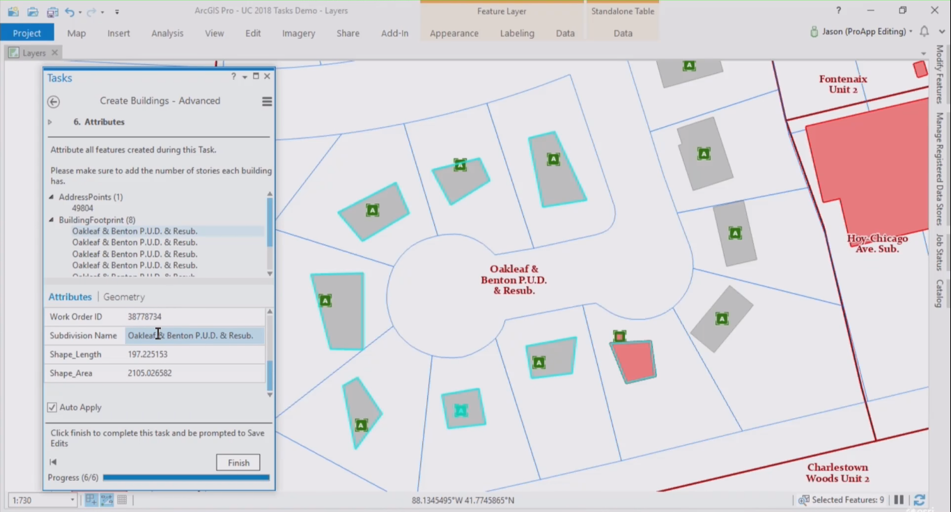
Introduction to the ArcGIS Pro Task Framework
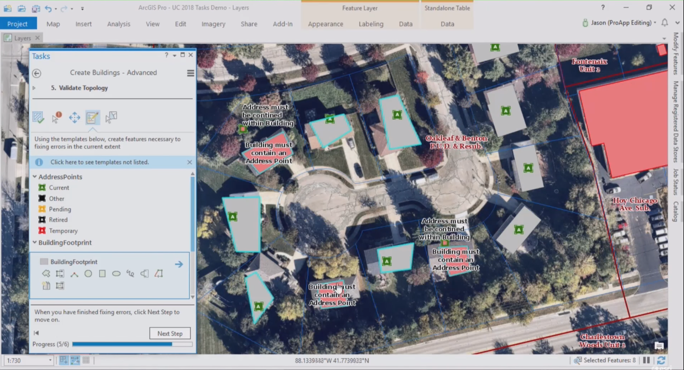
ArcGIS Pro introduced a new feature called tasks. This article explains how tasks can help ArcGIS Pro users to be more productive, as well as the different components that form a task. What is a task? Tasks are similar to wizards that guide a user through a software...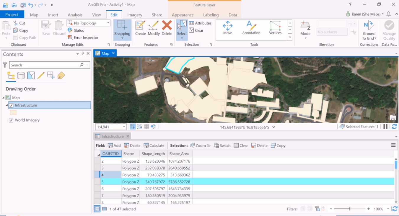
Modifying Existing Features and Attributes with ArcGIS Pro
All tools for modifying existing features can be found in a single editing pane in ArcGIS Pro. Editing attribute information happens inside an attribute table, where geoprocessing tools can help you save time populating fields with attribute data. Tools for modifying...