Have you ever wanted learn how to use open source GIS software offerings to develop web based GIS applications? Here is your opportunity! GeoSpatial Training Services is now offering a hybrid instructor guided, web based course covering open source GIS software including PostGIS, GeoServer, and OpenLayers. Classes lectures are pre-recorded so you can progress through the materials at your own pace. Exercises are designed to supplement what you learn in lecture, and you will have access to the instructor via email or chat to resolve any questions or problems.
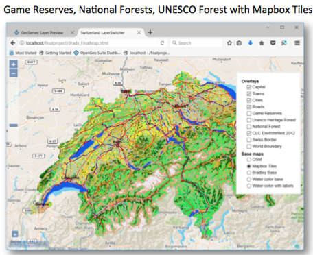
A capstone exercise at the end of the course is designed to give you hands on experience with completing a real world project. Example capstone projects completed by past students:
- European environmental data in a web based application
- Interactive map of languages of Spain in Western Europe
The next session of this course begins this January 22nd. Get more information about the course.

