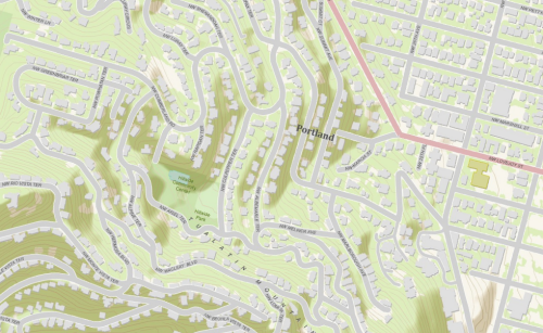
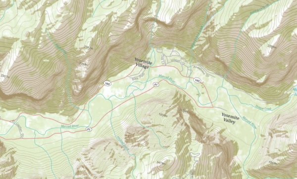
I’m really impressed with the recently announced World Topographic base map from ESRI. As James Fee noted on his his blog, “the cartography just catches your eye.” According to ESRI the map is designed to be used as a basemap by GIS professionals and as a reference map. The map includes administrative boundaries, cities, water features, physiographic features, parks, landmarks, highways, roads, railways, airports, and buildings overlaid on land cover and shaded relief imagery for added context.
The map includes detailed maps for selected cities in the United States including New York, Pasadena and Redlands, California, Philadelphia, Portland, and Washington D.C. as well as a detailed map of Yosemite Park in California. These areas are a demonstration of how the topographic map can and will be extended with more detailed data sets for local areas.
Data sources used in the creation of the map include USGS, FAO, NPS, EPA, ESRI, DeLorme, TANA, and others.
The topographic map can be used in your custom REST or SOAP web applications as well as ArcGIS Desktop. The tiling scheme is based on Google Maps/Bing Maps.


