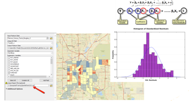
On Friday, May 26th we’ll be releasing a new recorded webinar entitled Introduction to Ordinary Least Squares Regression in ArcGIS. The OLS tool in the Spatial Statistics Toolbox of ArcGIS helps us determine the variables that explain why an observed pattern is present. These explanatory variables can lead to the development of models that can predict the occurrence of these patterns in other places.
There are essentially three primary reasons to use regression analysis. First is to gain an understanding of a phenomenon and effect policy or make decisions about appropriate actions to take. The next is to create predictive models of a phenomenon that can be applied to other areas, and finally, to explore hypotheses. In this webinar you’ll learn the basic concepts behind the OLS tool in ArcGIS.
This recorded webinar will be released to all current members of our email list on Friday, May 26th. Use the Signup box at the top of this page to make sure you get access to this webinar.
Learn more about Spatial Statistics in our Introduction to Spatial Statistics using ArcGIS and R class.

